 The Spring Branch of the Waterfall in Brinta
The Spring Branch of the Waterfall in Brinta
9 pictures:
2003, 2,
2004, 1,
2016, 2,
2026, 4,
all are 800 x 600 pixels in size.
Page, text, images and all rights (c) by
Daniel Rojšek, Danč, 2003-2026.
This branch was formed on very different rocks.
It sprins at 1280 m high above sea level on reddish flat limestone and marl with chert poles and nodules,
from where it flows onto the hard marl, both of Cretaceous age.
It then crosses an older, conglomerate glacial cemetery from the Ice Ages,
which is very young compared to other rocks.
From the cemetery or moraine it flows again onto the marl, and from there onto
the oldest Bača dolomite. From there it falls into Brinta again onto the same rock as at the source,
the Cretaceous flat limestone and marl.
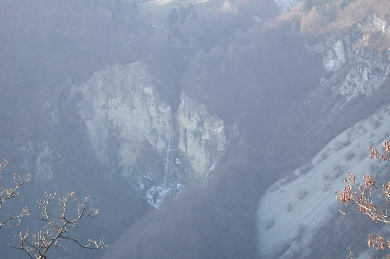
This branch has the least water, and during droughts the flow is very low.
The otherwise mighty Waterfall in the Brinta does not even reach its base,
as little water is dispersed in the wind.
This one also cuts into evorsion channels with several waterfalls below the Vrsno-Krn road.
The Brinta and its Surroundings
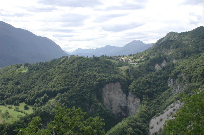
There is extremely little water, it disperses and does not fall at the base of the waterfall,
29th July, 2003.
A Closer Look at the Brinta

29th July, 2003.
A Winter Look at the Brinta
A little more water than in the previous two pictures, this time it was also spreading and
ice was forming on the waterfall wall,
3rd January, 2004.
Waterfall Mouth, Evorsion Channels and Waterfalls in Them
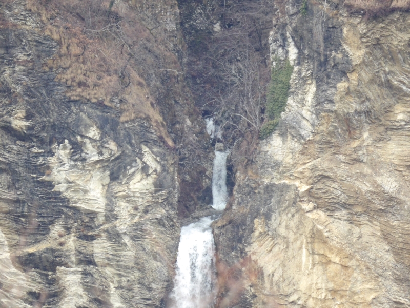
Lots of water and a decent waterfall,
10th February, 2016.
Almost the Entire Waterfall
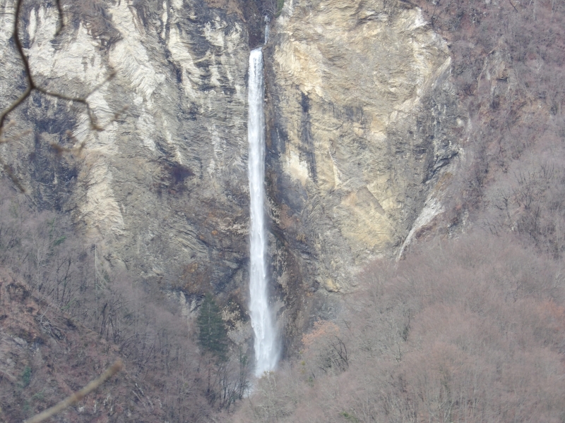
We just can not see the foot of the waterfall,
10th February, 2016.
The Entire Waterfall and a Part of the Pool
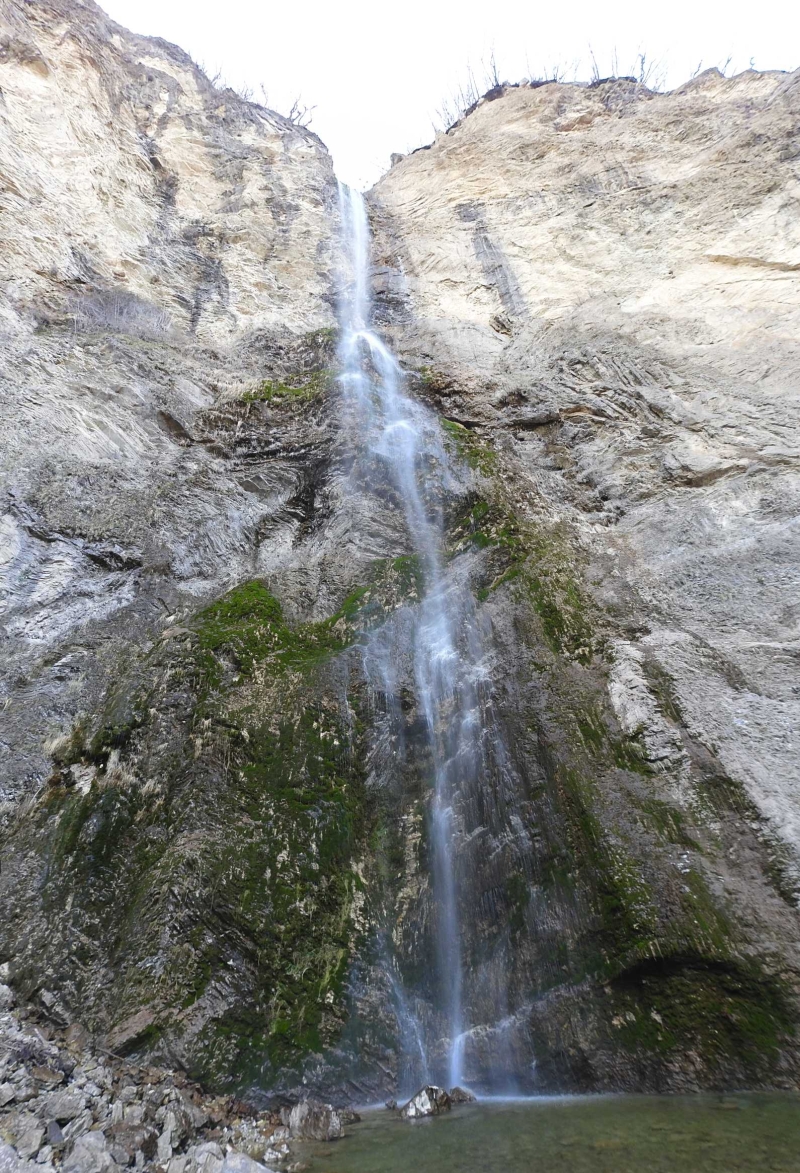
8th March, 2026.
The Pool
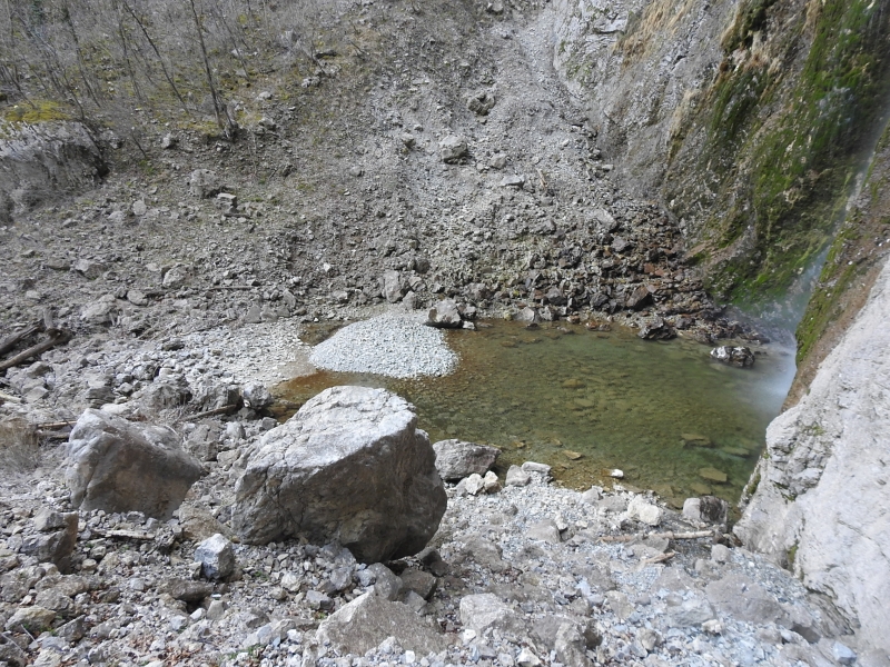
View to the pool from the rocks on the left side,
8th March, 2026.
Two-Stream Waterfall
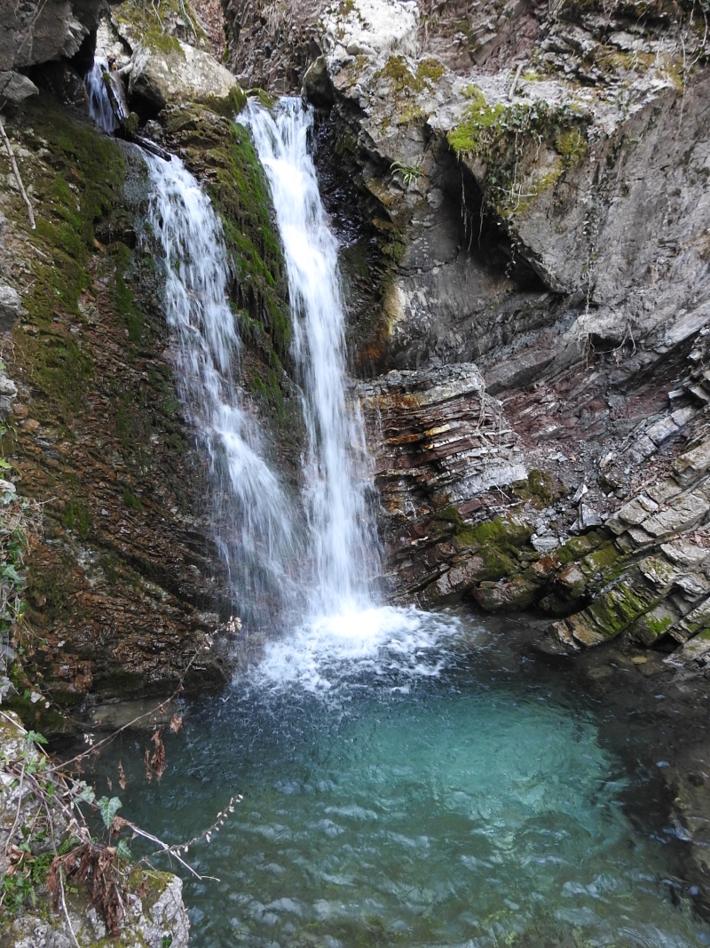
The waterfall is between 5 and 6 meters high and lies on the lower border of the Brinta,
8th March, 2026.
Evorsion Channels on the Border of the Brinta
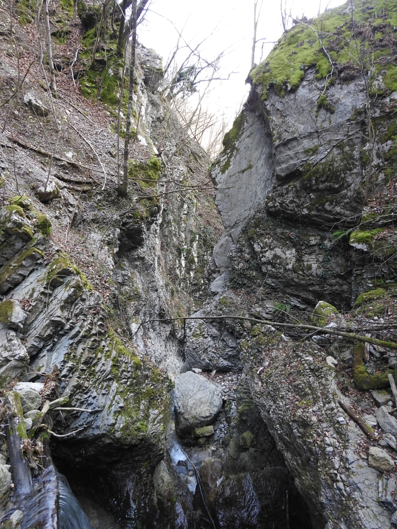
These approximately 30 m deep evorsion channels limit the Brinta on the lower side,
8th March, 2026.